
Piton de la Fournaise
An otherworldly volcano
Imagine walking across a plain of black rock, surrounded by volcanic cones, cracks, and mountains that look like they belong in a science fiction movie. There are no buildings in sight and no big forests: just an immense, silent, and strange landscape. Suddenly, the ground shakes, a fissure opens up, and a river of glowing molten rock slowly advances down the slope. Welcome to the Piton de la Fournaise, one of the most active volcanoes on the planet!
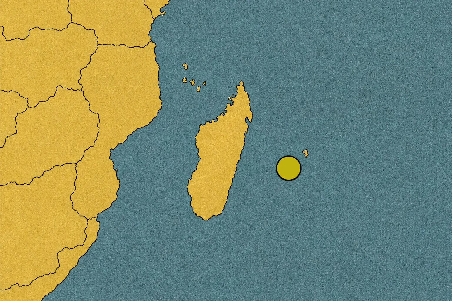
This giant is located on Réunion Island, a French territory situated in the Indian Ocean, east of Madagascar. It rises to about 2,632 meters and has spent around half a million years building and transforming the island with its eruptions. Here, the landscape is never finished: it can change every time the Earth releases some of its energy.[1][2]
An island built by fire
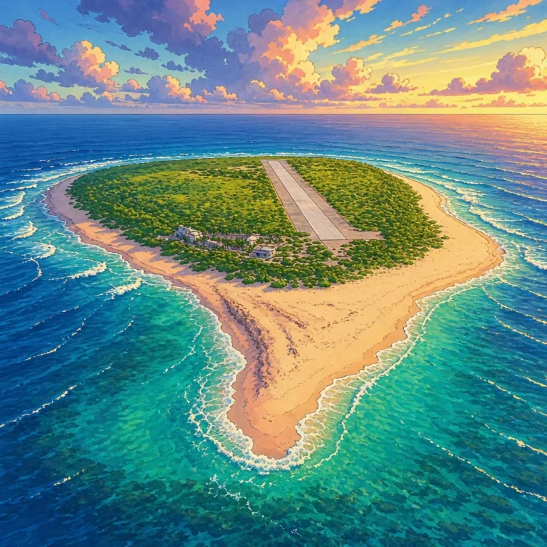
Réunion looks like a tiny dot in the middle of the ocean, but its history is massive. The island was born thanks to volcanic activity: for a very long time, magma kept coming up from the Earth’s interior and, as it cooled, turned into rock. Eruption after eruption, layers of lava piled up until they formed mountains that finally emerged above the sea.
The Piton de la Fournaise is one of the main stars of this story. It is a shield volcano, named because its slopes are usually broad and relatively gentle, resembling the profile of a lying-down shield. Its lava, generally basaltic, can flow easily and travel considerable distances before cooling down.
But not all parts of Réunion look the same. Alongside green and humid areas, you find stretches of bare rock, craters, dark plains, and slopes that look like deserts. That mix of environments is largely due to volcanic activity and changes in altitude, climate, and vegetation. The island is like a natural laboratory where you can observe how fire creates new land and how life tries to conquer it afterward.[2][3]
The Enclos Fouqué: a huge volcanic stage
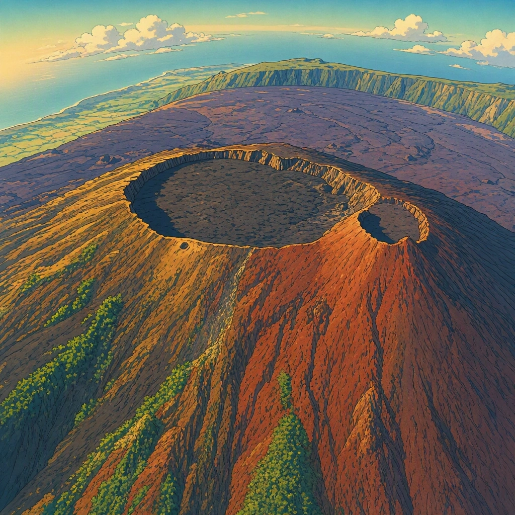
One of the most impressive areas of the volcano is the Enclos Fouqué, a large depression surrounded by steep natural walls. Imagine it as a gigantic stone arena created by the Earth itself. Inside it, many of the eruptive episodes of the Piton de la Fournaise are concentrated: fissures appear there, small cones form, and lava flows carve new paths across the terrain.
When magma rises from inside the planet, it can force its way to the surface through cracks in the rock. That is when the eruption begins. Instead of always coming out of a single crater, the lava can gush out of an elongated fissure, creating several emission points. Sometimes, bright fountains of lava shoot up from those points while the molten material spills downhill.
Most recent eruptions have taken place inside the Enclos Fouqué, although some have occurred outside this zone. The latter can be especially dangerous if they get close to inhabited places. That is why the volcano is spectacular, but it is not an adventure park where you can wander freely anywhere.[2][4]
What happens during an eruption?
To understand it, let’s take a little imaginary journey inside the volcano. Beneath the surface, there is very hot rock; under certain conditions, part of it melts and forms magma. This magma can accumulate in underground areas and travel through cracks. As the magma moves, it can cause small earthquakes and ground deformations.
If it reaches the surface, the magma becomes known as lava. Upon coming out, it can reach temperatures of around one thousand degrees or more, depending on its composition and conditions. That is hot enough to melt or burn many materials we live with every day!
The lava of the Piton de la Fournaise usually advances like a thick stream, although its speed changes a lot depending on the slope, temperature, and amount of material coming out. The outer part cools and forms a crust, while the interior can stay hot and keep moving. In the end, the flow solidifies and leaves behind a new layer of rock.
Not all eruptions are alike. Some produce relatively calm flows; others can throw out rock fragments, ash, and gases. The Piton de la Fournaise is known above all for its lava-expelling eruptions, but that doesn’t mean it is free of risks. Even a slow-moving flow can destroy paths, vegetation, or buildings if it reaches those areas.[2][4]
The day the mountain changed its shape
In April 2007, a massive eruption caused a dramatic change at the summit. The Dolomieu crater suffered a collapse: part of the ground sank and a huge depression appeared, as if the volcano had lost a piece of its own peak. In some sectors, the new crater reached about 350 meters in depth.
How can a mountain sink? During an eruption, magma can leave areas located beneath the surface. If the rock covering them loses some of the support that was holding it up, the ground can collapse. This process can happen quickly and alter the appearance of the crater in a very short time.
The 2007 episode proved that a seemingly solid landscape can transform suddenly. Mountains are not always motionless structures: in an active volcano, the ground can rise, crack, sink, or get covered in lava. Dolomieu is one of the clearest examples of that geological force.[3]
After the lava, life returns
At first, a freshly cooled lava flow might look like a place where nothing has a chance to grow. The rock is dark, jagged, and in many places, there is practically no soil. However, over time a slow transformation begins.
The wind carries dust, seeds, and small organic remains. Rain and temperature changes wear down the rock, and some organisms find cracks to settle in. Little by little, hardy plants can appear, helping to form soil where other species will grow later.
Scientists call this process of changing living communities over time ecological succession. It doesn’t happen overnight: in some places, recovery can take many years. Furthermore, not all lava flows age the same way. The age of the lava, the climate, the altitude, and the terrain features influence which living things can establish themselves.
On Réunion, volcanic landscapes coexist with rainforests, scrublands, and other very different environments. That variety makes the Fournaise massif an extraordinary place to study how nature adapts to extreme conditions and how newly created land can gradually turn into an ecosystem.[3][5]
Who is watching the giant?
Because the volcano can wake up and change its activity, scientists monitor it continuously. The Piton de la Fournaise Volcanological Observatory, which began operating in late 1979, uses instruments to record earthquakes, measure ground deformations, and study volcanic gases. These signals help understand what is happening beneath the surface and detect changes that could announce an eruption.[4]
Surveillance is important, but it doesn’t allow predicting every detail with total certainty. Researchers gather data, compare patterns, and work with authorities to assess risks. When the alert level changes, the areas accessible to visitors may also change. Therefore, before going on a hike, it is essential to check official instructions and respect established trails and closures.
Observing an active volcano requires curiosity, but also caution. The lava can look hypnotic, and the landscape invites you to get closer, although a fissure, a gas leak, or an unexpected change can turn a visit into a dangerous situation.
A living planet beneath our feet
The Piton de la Fournaise reminds us that the Earth is not a completely still ball of rock. Inside it, there is heat, moving materials, and forces capable of raising mountains, opening cracks, and creating new surface. On Réunion, those processes can be seen in a landscape that looks like another planet, but is part of our own.
Every eruption leaves a different mark. Some areas get covered by black rock; others keep old craters or show how vegetation is starting to return. The volcano destroys in certain places and creates land in others, and living things respond to those changes at their own pace.
Perhaps that is the big surprise of the Piton de la Fournaise: it not only teaches us the power of fire, but also the ability of nature to start over. Beneath its slopes, geological history continues to be written, one eruption and one lava flow at a time.
Sources
- Smithsonian Institution, Global Volcanism Program: geological data and volcano characteristics — https://volcano.si.edu/volcano.cfm?vn=233020
- Réunion National Park: the volcanic massif and its landscape — https://www.reunion-parcnational.fr/fr/des-decouvertes/la-reunion-une-ile-de-nature/le-massif-de-la-fournaise
- Réunion National Park: Piton de la Fournaise, a living volcano and the collapse of the Dolomieu crater — https://www.reunion-parcnational.fr/fr/des-decouvertes/la-reunion-une-ile-de-nature/le-massif-de-la-fournaise-le-feu/le-piton-de-la
- Paris Institute of Physics of the Globe: Piton de la Fournaise Volcanological Observatory — https://www.ipgp.fr/en/observation/ovs/ovpf/
- UNESCO: Pitons, cirques and escarpments of Réunion, World Heritage — https://whc.unesco.org/en/list/1317/