
Kvarken
The landscape that keeps being born
In Kvarken, islands are not forever. The ground continues to rise slowly, and little by little, the map of Finland changes right before our eyes. In the Kvarken archipelago, the land is still growing.
At first glance, Kvarken looks like a huge puzzle of islands, islets, rocks, bays, and small lagoons. But this landscape has something extraordinary: its current shape is just one stage of a story that is still ongoing.
A slowly moving map
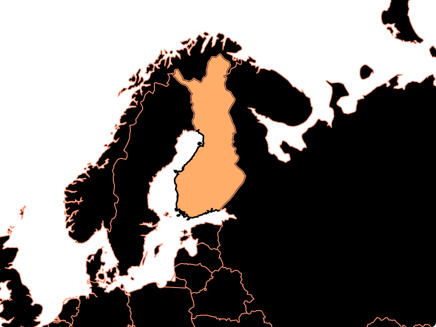
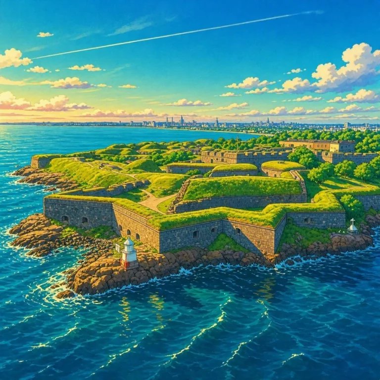
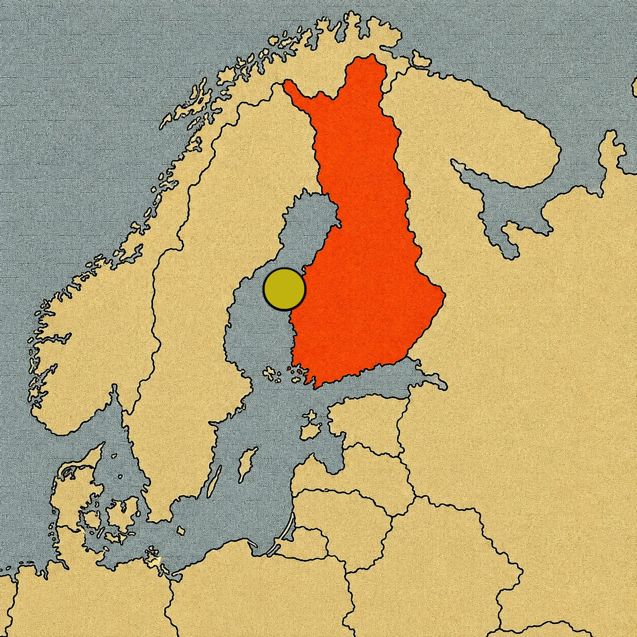
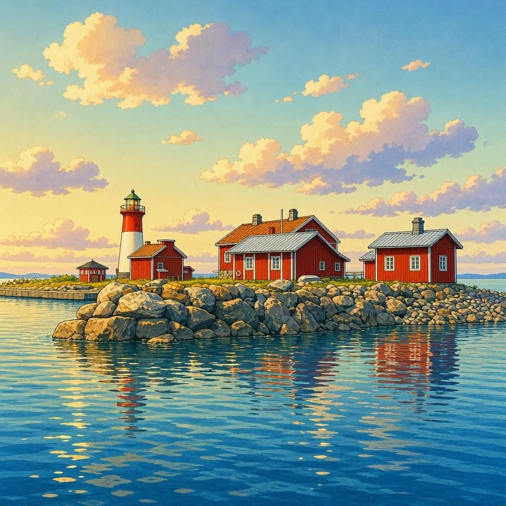
The Kvarken archipelago is located in the Gulf of Bothnia, between Finland and Sweden. It is made up of about 5,600 islands and islets, spread across an area where the sea and the land seem to blend together. Some islands are covered in forests. Others are small patches of rock that barely stick out of the water. There are also narrow channels, beaches, meadows, and bays that change their appearance depending on the season.
But the most surprising thing is not the number of islands. It is discovering that some of them were not there thousands of years ago. To understand why, we have to travel back in time to the last ice age.
When ice crushed the Earth
During the last ice age, huge sheets of ice covered large areas of northern Europe. In Finland, the ice reached thicknesses of several kilometers in some places.
All that ice weighed a tremendous amount. It was like placing a gigantic mountain on the Earth’s surface. The weight of the ice sheet pressed down on the ground and caused the Earth’s crust to sink slowly.
Then, the climate began to warm up. The ice disappeared, and the huge weight that had been pressing down on the surface also vanished. But the Earth did not return to its previous position immediately. The crust began to rise slowly, like a mattress regaining its shape after a heavy object is removed.
The Earth is still rising
This movement is known as isostatic rebound. It is one of the geological processes responsible for the Kvarken landscape continuing to change.
In this area, the ground rises by approximately 8 millimeters a year. That might seem like very little. If you look at a rock for an afternoon, you obviously won’t notice anything. But 8 millimeters every year adds up to several centimeters over a decade and many meters after several centuries.
The difference becomes clear when we think in geological time. For thousands of years, this movement has caused new areas of land to slowly emerge from the sea. Where there used to be water, a small rock might appear first. Then, a wider surface. Over time, plants can arrive and begin to form a new landscape. It is almost like watching a continent at work in slow motion.
When an island meets another
The lifting of the ground creates even more curious situations.
An island can start out surrounded by water and, over time, become connected to another area of land. A channel can become narrower and narrower. A bay can lose depth until it is cut off from the sea. And then something incredible happens: an old sea bay can turn into a lake.
The process is so slow that a person cannot observe it directly. However, by comparing maps, aerial photographs, and measurements taken over many years, scientists can detect how the landscape changes. In Kvarken, the map is not a frozen photograph. It is an image of an ongoing process.
A landscape born from ice
The shapes of Kvarken also tell the story of glaciers. During the ice age, the ice advanced over the land and eroded it. It dragged rocks, scraped surfaces, and left behind sediments and different landforms. When the ice disappeared, the sea occupied the low areas. The subsequent rising of the crust began to modify that relationship between land and water.
That is why, in Kvarken, you can find a landscape with very different shapes: small islands, elongated rocks, sandbanks, and shallow areas. They are not pieces placed at random. They are the traces of a huge ice sheet that disappeared thousands of years ago and of an Earth’s crust that is still recovering from its weight.
A new island needs time
When a new surface of land appears, the story doesn’t end. In fact, it has just begun.
At first, it may simply be bare rock. Little by little, lichens, mosses, and other plants capable of living in harsh conditions arrive. Later, more demanding plant species can establish themselves. Life takes over the new territory step by step.
This process makes it possible to study how ecosystems colonize newly formed surfaces. In Kvarken, geology and biology are connected in a way that is especially easy to observe. First the land changes. Then the life that can live on it changes.
The landscape shared by two countries
Kvarken is not isolated from what happens on the other side of the Gulf of Bothnia.
In Sweden lies the High Coast, a landscape formed by the same great process of crustal uplift after the ice age. The two territories are separated by the sea, but they share a common geological story. Because of its importance, UNESCO included both the Kvarken archipelago and the Swedish High Coast on its World Heritage list.
The inscription recognizes precisely the value of this landscape and helps us understand how the retreat of glaciers and the uplifting of the land have created landforms that are still evolving.
Finland’s only natural UNESCO treasure
Kvarken also holds a special record for Finland. It is the only Finnish natural site included in the UNESCO World Heritage List. The country has other places recognized for their cultural importance, but Kvarken stands out for the exceptional value of its nature and its geological history.
And that story does not belong solely to the past. While we observe the current islands, the ground continues to rise. Some areas become larger, new surfaces appear, and the relationship between the sea and the land slowly changes. It is a heritage that is still being formed.
The map of the future
Think of a map of Kvarken drawn thousands of years ago. Some of the lands that appear as islands today were underwater back then. If you could travel thousands of years into the future, you would find a different landscape. Some islands would be larger. Some channels would be narrower. Some bays might have turned into lakes, and new land surfaces might have appeared.
We are not talking about a change you can expect to see tomorrow. But the process is already happening. Kvarken proves that landscapes are not motionless objects. Mountains erode, rivers change their paths, glaciers advance or retreat, and the Earth’s crust moves.
In this corner of Finland, that transformation has an especially fascinating scale: you can walk across a landscape that is still being born.