
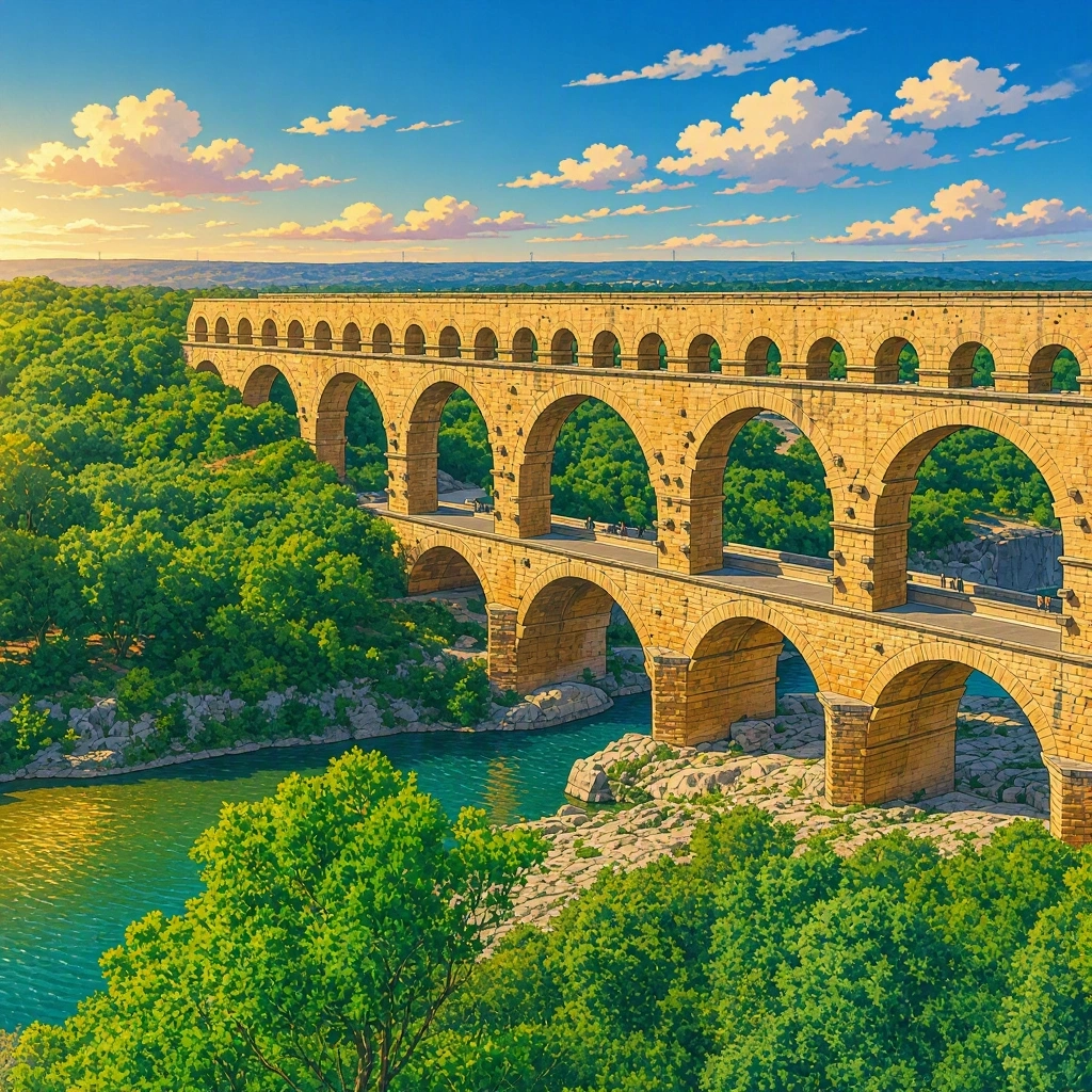
Pont du Gard
The water that traveled
Imagine having to bring water to a city with no tanker trucks, no modern pipes, and not a single electric pump! Now imagine that the source is about 50 kilometers away and that, along the way, a deep valley crossed by a river appears. How would you solve it?
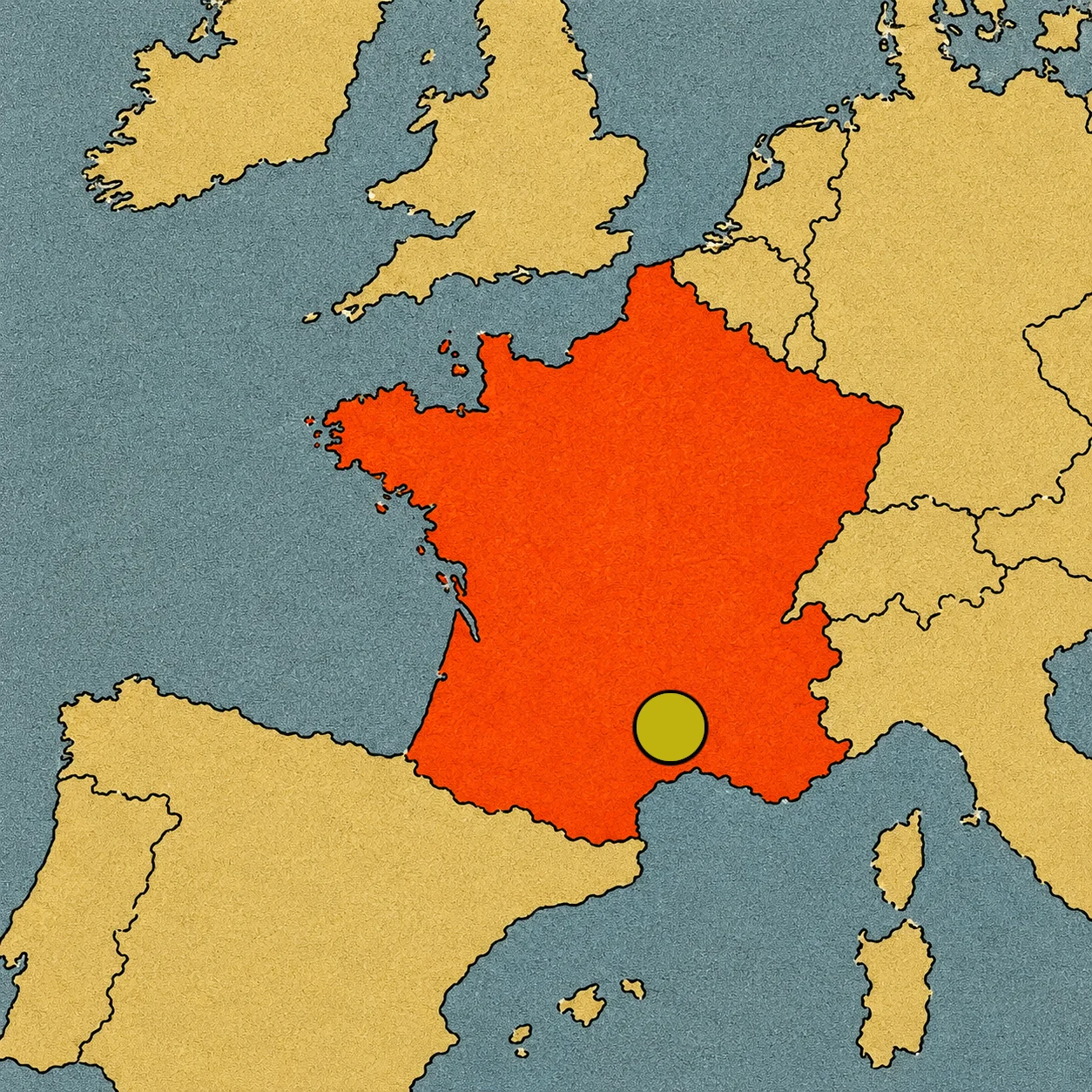
Almost two thousand years ago, Roman engineers found a spectacular answer: they built an aqueduct that carried water from nearby springs in Uzès to the city of Nemausus, today’s Nîmes, in southern France. Its most impressive section is the Pont du Gard, a stone bridge with three tiers of arches that reaches almost 49 meters in height. It looks like a construction straight out of a world of giants, but it had a very practical mission: to carry water for daily life. And it succeeded for centuries.[1]
A thirsty city
In the 1st century, Nîmes was a growing Roman city. Its inhabitants needed water for drinking, cooking, cleaning, and filling public fountains. There were also bathhouses where people gathered, chatted, and relaxed. The city had its own springs, but they were not enough to cover all its needs. That is why the Romans looked for water in the Uzès area, dozens of kilometers away.
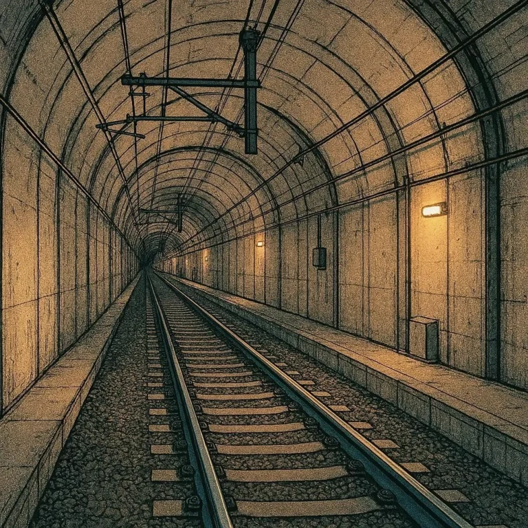
The challenge was to lead it to Nîmes without losing it along the way. The engineers mapped out a route that followed the shapes of the terrain and maintained a very gentle slope. They could not make the water climb a hill on its own, so they had to plan each section carefully. In some places, the channel could pass through tunnels or alongside hillsides; in others, it had to overcome changes in elevation.
The complete journey was about 50 kilometers long, a huge distance for a structure built without modern machinery. The key was not just building a channel: it was making sure the water kept moving forward, from the spring to the city, thanks to gravity.[2]
Three stories of arches over the river
The most spectacular moment of the journey came when crossing the Gardon River. There stands the Pont du Gard, a three-tier structure that looks like a giant stone staircase. At the bottom, the large arches let the river pass through; above them stands another row of arches, and at the top was the channel through which the water traveled. The bridge reaches almost 49 meters in height, roughly like a fifteen-story building.
The arches are not there just to make the monument look pretty. Their shape allows the weight to be distributed and supports the structure while leaving open spaces between the pillars. The central arch of the lower part is especially large, which helps the river keep flowing even when its level rises. The Romans knew the dangers of sudden floods well and adapted the construction to the conditions of the valley. Thus, the Pont du Gard had to fulfill two tasks at the same time: keep the water channel at the right height and resist the force of the river passing underneath.[1]
How did they build such a giant?
Think about putting up a huge wall without electric cranes or excavators. The Romans had to extract the stone, transport it, carve it, and place each block in its position. Near the monument, the ancient quarry where part of the material came from is still preserved. Some stones still show tool marks and signs that helped the builders know where each piece was supposed to fit.
Precision was essential. If the arches did not distribute the weight well, the structure could weaken. If the channel was too steeply inclined, the water would flow too fast; if the slope was insufficient, the flow could slow down. Therefore, engineers studied distances and heights with measuring instruments and careful planning.
The Pont du Gard section was built in a relatively short period, although the complete project required organizing a great many workers and specialists. The result was a work of engineering that combined calculations, practical knowledge, and a huge amount of human labor.[1]
A push from gravity
The most surprising thing is that the water did not need engines to travel the 50 kilometers. The aqueduct descended gradually, taking advantage of gravity. The average slope was about 25 centimeters per kilometer: less than the height of a school ruler over an entire kilometer! A tiny drop for such a long journey!
To achieve this, the channel had to follow a very precise layout. Sometimes it crossed a hill through a tunnel; in other sections, it advanced alongside the terrain, and when it encountered the Gardon valley, it needed a bridge like the Pont du Gard. Each part had to connect to the next without creating an uphill climb that would stop the water.
The grand bridge was not the entire work, but rather the most visible piece of a much larger network. What we see today is like discovering a giant page from a technical book: the arches tell the most spectacular part, while the rest of the aqueduct reveals the silent work that made the water’s journey possible.[2]
How much water reached Nîmes?
The aqueduct could transport approximately between 30,000 and 40,000 cubic meters of water a day, according to estimates from the monument’s site. To imagine that amount, the transported water would fill between 12 and 16 Olympic swimming pools filling up one after another.
Upon reaching Nîmes, the water was distributed to public fountains, bathhouses, and other points in the city. Some wealthy homes could also have a water supply, although not all inhabitants had the same access.
The aqueduct not only helped meet a basic need. It also demonstrated what a city could do when it brought together knowledge, materials, money, and workers. Building such a long infrastructure required organizing teams, maintaining the channels, and repairing potential damage.
The water that arrived in Nîmes was, in a way, visible proof of the Romans’ ability to transform the land. Their engineering did not eliminate all problems, but it allowed the city to function with a more regular supply.[2]
When the water stopped traveling
The aqueduct supplied Nîmes for several centuries, until it stopped working around the early 6th century. Over time, the Pont du Gard had other uses. In the Middle Ages, some parts were adapted to allow people and animals to pass, and stones were removed from certain sectors. Later, in the 18th century, a traffic bridge was built next to the Roman structure. Thus, the monument continued to serve as a way to cross the river, even though it no longer carried water to the city.
For centuries, travelers, artists, and engineers admired its arches. Repairs were also carried out to prevent the bridge from deteriorating. In 1985, UNESCO inscribed it on the World Heritage List, recognizing its importance as an extraordinary example of Roman engineering.[1]
A wonder that still stands
Today, the Pont du Gard no longer supplies water to Nîmes, but it still allows us to follow in our imagination the journey the droplets made almost two thousand years ago. From the springs of Uzès, the water advanced through a channel with an almost invisible slope, crossed the valley over three tiers of arches, and continued toward the city. Each stone formed part of a work that united geography and daily life.
The Pont du Gard proves that a wonder is not always a palace full of treasures. Sometimes it is an ingenious solution to a real problem: how to bring water to those who need it. Its arches look like motionless giants, but they were born to support a journey. And even though that journey ended many centuries ago, the bridge continues to tell how the Romans managed to make water cross a valley and change the life of a city.
Sources
- UNESCO: dimensions, structure, construction, and conservation of the Pont du Gard — https://whc.unesco.org/en/list/344/
- Official site of the Pont du Gard: aqueduct route, slope, and water supply to Nîmes — https://pontdugard.fr/en/discover/history