

Iron Gate
A door on the Danube
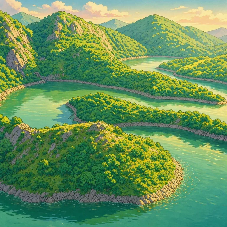
There are rivers that cross plains. And there are others that seem to want to prove that no mountain can stop them. The Danube reaches the Carpathian Mountains and, instead of going around them, carves its way right through them. For more than 100 kilometers, the landscape changes completely: narrow gorges appear, rock walls, valleys, forests, and areas where the river seems wedged between the mountains.[1][2]
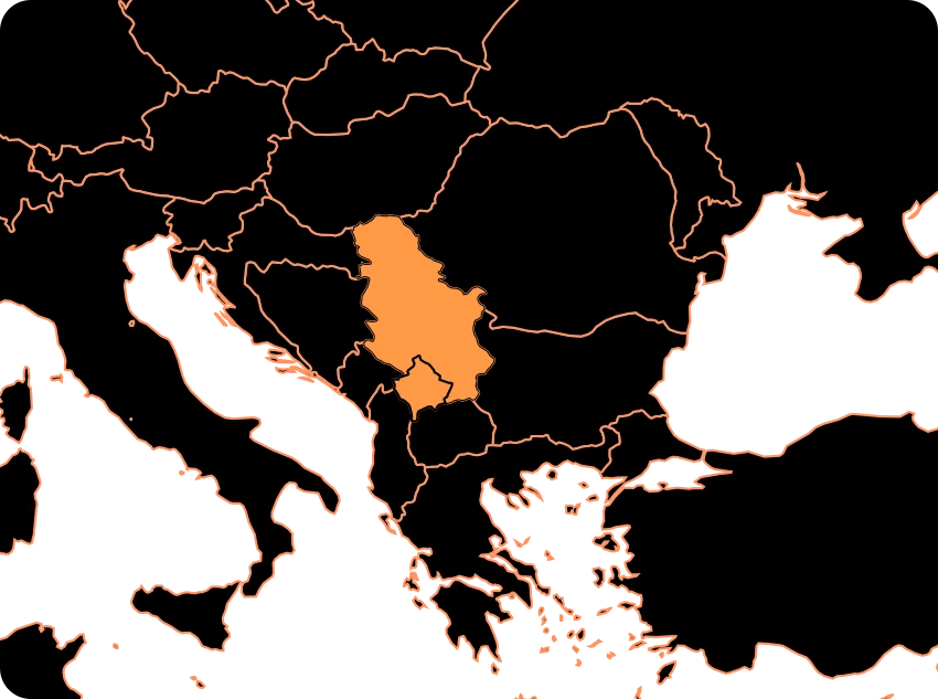
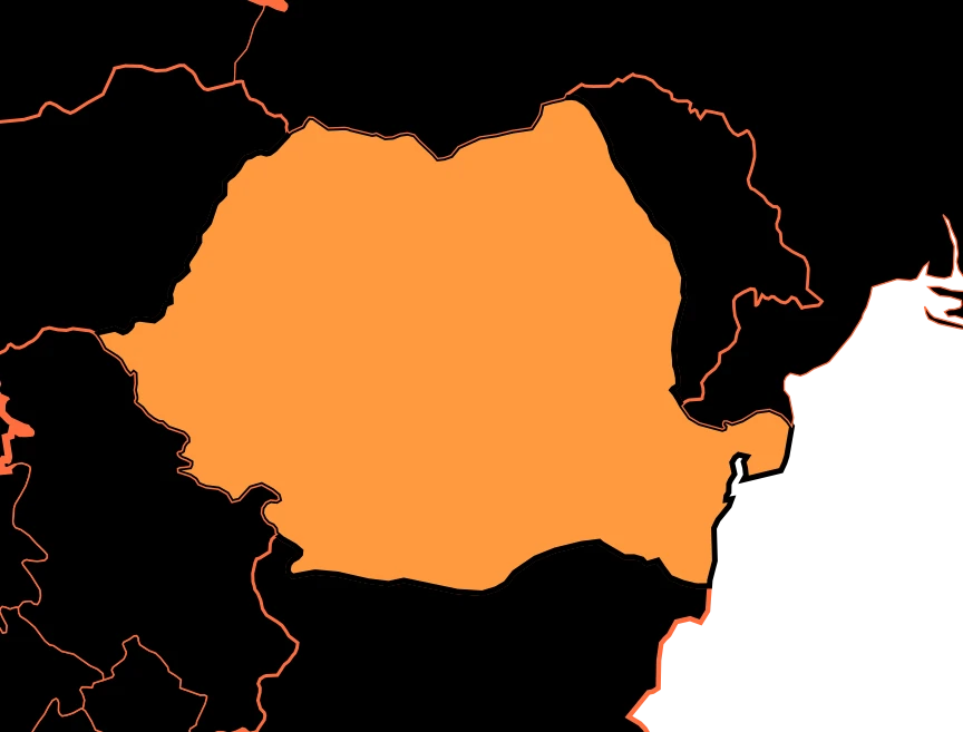
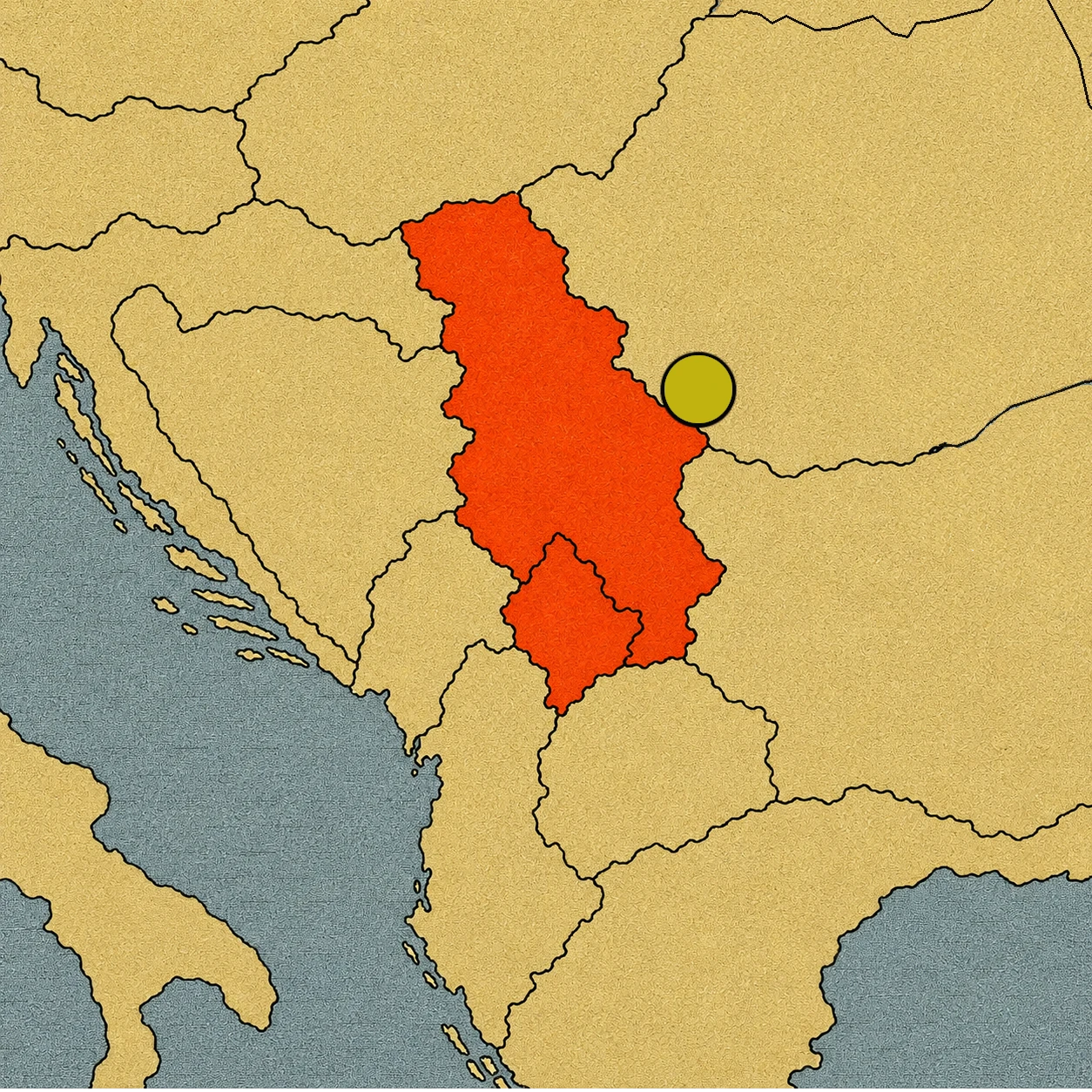
This is the Đerdap region, known internationally as the Iron Gate. The Danube forms the border between Serbia and Romania here. At some points, the rocky walls rise about 300 meters above the water and the riverbed reaches local depths of over 80 meters.[1][3]
But the Iron Gate is much more than a spectacular gorge. For thousands of years, this river has done two seemingly opposite things: separating and connecting Europe at the same time. It has been a border and a highway. An obstacle and a path. A dangerous place for sailors and a communication route for merchants, soldiers, and travelers. And long before Serbia and Romania existed, long before Rome reached this place, people were already living next to this huge natural door.
The place where the Danube crosses the mountains
From the air, the Iron Gate looks like a gigantic crack opened between the mountains. Here, the Danube crosses an area where the Southern Carpathians and the Balkans come close together, leaving a narrow corridor. For millions of years, the water carved its path through the rocks.[2]
The gorge is not a single straight wall. It is made up of several sections, including Golubac, Gospodjin Vir, Kazan, and Sip, separated by small valleys and widenings.[3]
In the Kazan sector, whose name means “cauldron,” the walls draw impressively close. The river can look like a gigantic dark blue channel wedged between two natural walls. The Đerdap Geopark points out that some of these “cauldrons” are more than 80 meters deep.[3]
The river seems to have opened a door. But for a long time, crossing it was no easy task at all.
The scary Danube
Today a boat can cross the Iron Gate following channels and regulated navigation routes. Centuries ago, the situation was very different. The riverbed was full of rapids, whirlpools, and rocks that could become traps for boats.[2] In some stretches, the currents were so strong that sailors needed to know the river perfectly to find the right passage.
In fact, the Serbian name Đerdap comes from the Turkish girdap, a word of Persian origin related to a whirlpool or vortex.[3] Imagine you are a sailor from several centuries ago. You are carrying goods along the Danube and you reach an area where the mountains close in on the river. Ahead of you are fast water, hidden rocks, and currents that can push the boat in the wrong direction.
The question is simple: How do you cross a giant river when the river is precisely what you have to fear? For generations, local sailors learned where to pass and where not to. Their knowledge of the riverbed was so important that they could become the true guides for those arriving from afar. The Danube was a great European highway. But the Iron Gate was one of its most difficult stretches.
Before the countries
Long before anyone could talk about a border between Serbia and Romania, the Danube was already attracting human beings. One of the places that proves this is Lepenski Vir. On the banks of the river, a prehistoric community developed starting about 8,000 years ago. UNESCO considers the site one of the oldest known settlements in southeastern Europe.[4]
Its inhabitants built homes with carefully organized geometric shapes and developed a culture closely related to the river and the landscape.
But perhaps the most surprising thing is its stone sculptures. Some represent figures with very particular human faces and features. They were created thousands of years before the pyramids of Egypt and long before the great cities of Antiquity appeared.
A kingdom of forests and cliffs
The Iron Gate is not just a stone monument. It is also a huge natural refuge, bringing together forests, karst formations, caves, springs, and an extraordinary diversity of plants.[1][4]
More than 1,000 plant species have been recorded in the region. Some are relict species: plants that remind us of climatic eras very different from today and that have survived thanks to the particular conditions of the place.[1]
Large animals also live among the mountains. There are wolves and lynxes, as well as numerous birds and other species that find refuge in the forests and cliffs.[1]
Rome wanted to master the door
The Romans understood the value of the Iron Gate very early on. The Danube was a strategic border of the Roman Empire and also a huge transport route. Controlling its passages meant being able to move soldiers, goods, and supplies between different territories.[5]
But there was a problem: the mountain hadn’t left much space to build a road. Roman engineers had to adapt. In some places they carved the road directly into the rock. In others they built structures right by the water. The route was part of a complex military and commercial network connecting fortresses and settlements along the Danube.[5]
One of the most famous traces is the Tabula Traiana, a monumental inscription associated with the works carried out during the reign of Emperor Trajan.
There were also fortifications like Diana, near Kladovo, and Pontes, linked to Trajan’s famous bridge over the Danube.[5] Trajan’s bridge was an extraordinary work of engineering. Built in the early 2nd century, it allowed people to cross the river and facilitated Roman campaigns against the Dacians.
Suddenly, the landscape that seemed impossible to cross had become a fundamental piece of a huge military machine.
Golubac, the fortress at the entrance
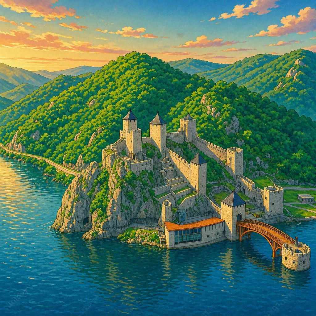
Many centuries after Rome, another construction took advantage of the geography once again. It is Golubac, a medieval fortress built next to the Danube, near the western entrance of the gorge. Its towers overlook the river from a spectacular position.
Why would you build a castle right here? Because the place had a huge advantage: whoever controlled that point could watch over one of the accesses to the great Danube gorge. The fortress did not appear in just any landscape. It was built where geography had already created a door. UNESCO lists Golubac among the medieval fortresses that defended the entrance and passage through the canyon.[1] Nature had created the corridor. Humans learned to watch over it.
And then came a gigantic transformation
For thousands of years, the Danube had seemed too powerful to be changed on a large scale. Until the 20th century arrived. The huge Iron Gate hydroelectric system was built between Serbia and Romania, and its first major reservoir and power plant, Đerdap I, began operating in 1972.[6]
The dam radically changed the landscape. The water rose and turned part of the old valley into a large reservoir. Some towns, islands, and archaeological remains ended up underwater. Among the affected places were old sections of the Roman road and various fortifications and settlements studied before the flood.[5][6] The very river that for thousands of years had been impossible to tame ended up being transformed by a dam.
Navigation changed too. The old rapids and obstacles stopped presenting the exact same problem because the reservoir raised and stabilized the water level in large sections of the river.[6]
But every transformation has a price. A part of the landscape that had existed for thousands of years was turned into an underwater landscape.
Natural treasure
UNESCO added Đerdap to its network of Global Geoparks in 2020. The geopark brings together geological, natural, and cultural heritage, highlighting both the gorge of more than 100 kilometers and places like Lepenski Vir and Rudna Glava.[4]
Everything fits into the same landscape. First are the rocks, formed over hundreds of millions of years. Then, the Danube, which carved its path between the mountains. Next came the animals, plants, and forests. Then, the prehistoric communities. Later, Rome built roads, fortresses, and bridges. Medieval powers raised castles like Golubac. Sailors learned to face the whirlpools. And finally, the large dams transformed the river once again.
The Iron Gate is a place where you can read the history of Europe by following a single river. A river that for thousands of years separated and connected at the same time. And that still continues to cross the mountains today, carrying with it a piece of the history of two countries.
Sources:
- UNESCO — Đerdap National Park: landscape, biodiversity, gorge, and archaeological heritage — https://whc.unesco.org/en/tentativelists/1693
- UNESCO — Frontiers of the Roman Empire (Danube Limes) in Romania: geography of the Iron Gate and gorge characteristics — https://whc.unesco.org/en/tentativelists/6446
- Đerdap UNESCO Global Geopark — gorge, origin of the name, sections, and depth — https://geoparkdjerdap.rs/en/geolosko_nasledje/djerdap-gorge-iron-gate/
- UNESCO — Đerdap UNESCO Global Geopark: geology, Lepenski Vir, and Rudna Glava — https://www.unesco.org/en/iggp/djerdap-unesco-global-geopark
- UNESCO — Frontiers of the Roman Empire in Serbia: Tabula Traiana, Roman road, Diana, Golubac, and Trajan’s Bridge — https://whc.unesco.org/en/tentativelists/6475
- NASA Earth Observatory — transformation of the Danube by the Iron Gate dam and reservoirs — https://science.nasa.gov/earth/earth-observatory/the-danubes-iron-gates-6819/