
Treaty of Trianon
The country that changed size
After World War I, a new treaty redrew the map of Europe. Hungary lost about two-thirds of the territory that had been part of the Kingdom of Hungary. To understand why Hungary’s map changed so much, we must first travel back to a very different Europe: the Europe of the great empires.
In 1914, Hungary was not an independent country like the one we know today. It was part of the Austro-Hungarian monarchy, one of the great European empires. And that same year, a war began that would end up changing the map of the continent forever.
The war that began in 1914
On June 28, 1914, Archduke Franz Ferdinand, heir to the Austro-Hungarian throne, was assassinated in Sarajevo by Gavrilo Princip, a Serb-Bosnian nationalist. The assassination triggered a crisis between Austria-Hungary and Serbia. Austria-Hungary declared war on Serbia on July 28, 1914.
But Europe was full of military alliances. Russia supported Serbia; Germany supported Austria-Hungary; France and the United Kingdom were allied with Russia. Within weeks, a crisis between two countries became an enormous war.
Two great sides
On one side were the Central Powers, led by Germany and Austria-Hungary, which were later joined by the Ottoman Empire and Bulgaria.
On the other side were the Allies, including France, the United Kingdom, Russia, Serbia, Japan and, later, the United States, Italy and Romania.
The war lasted four years, from 1914 to 1918, and spread across Europe, the Middle East, Africa and other parts of the world. More than 70 million military personnel were mobilized during the conflict.
It was a different kind of war from earlier ones: machine guns, heavy artillery, aircraft, submarines, poisonous gases and tanks transformed the way of fighting. On the Western Front, millions of soldiers spent years in trenches, separated by a narrow strip of land known as no man’s land.
The end of the Empire
In 1918, the Central Powers were defeated. Germany requested an armistice and, on November 11, 1918, World War I officially ended. But for Austria-Hungary, the end had come even earlier.
The monarchy collapsed and new states and new governments emerged in its former territories. The enormous map that had existed for decades began to fragment. Austria and Hungary ceased to form a single empire.
The Treaty of Trianon arrives
After the war, peace negotiations began. In them, Romania claimed Transylvania and other territories, the new states of Czechs and Slovaks claimed territories in the north, and the future Kingdom of Serbs, Croats and Slovenes claimed lands in the south.
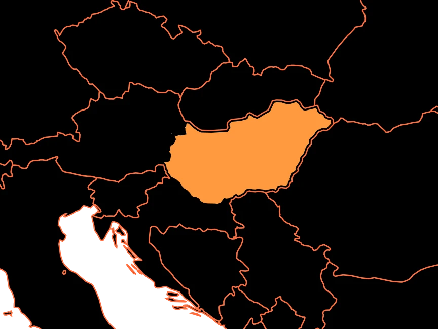
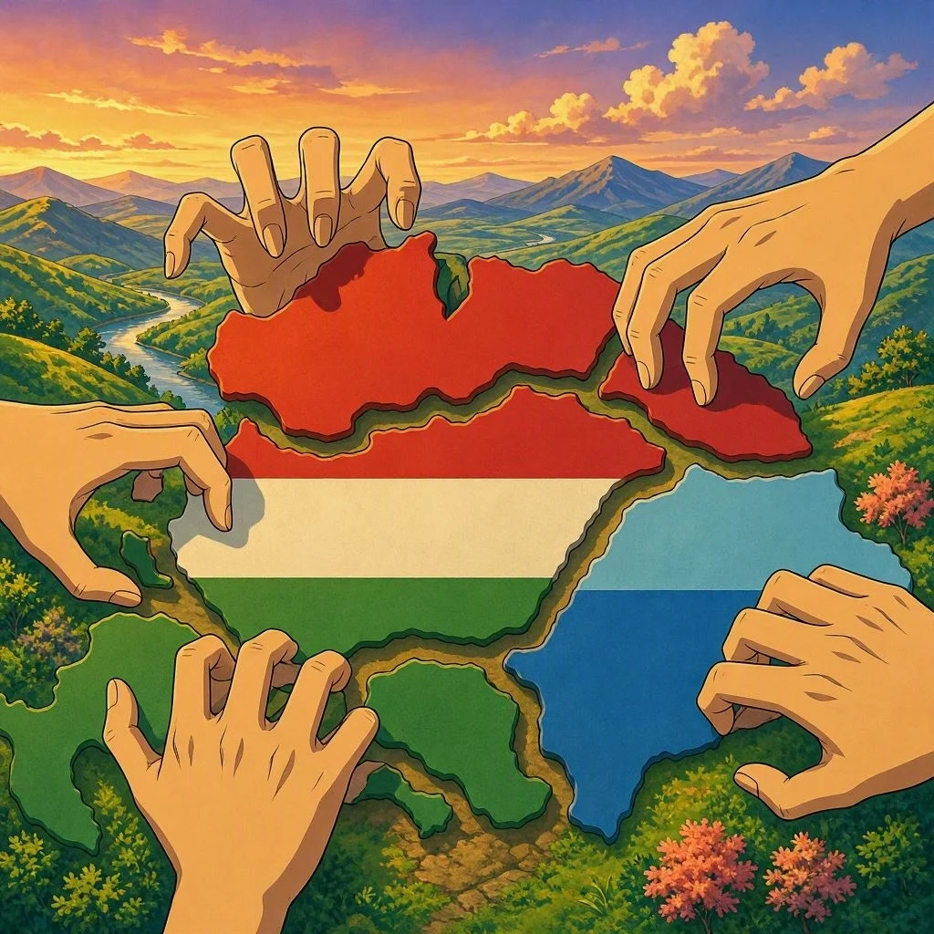
On June 4, 1920, Hungary signed the Treaty of Trianon at the Grand Trianon in Versailles, France. The treaty established the country’s new borders. And the change was enormous. The pre-war Kingdom of Hungary covered around 325,000 km². The Hungary that remained after the treaty covered about 93,000 km². In other words, it kept approximately 28% of its former territory.
Romania received Transylvania and other territories. Czechoslovakia received Slovakia and Carpathian Ruthenia. To the south, territories of the former Kingdom of Hungary passed to the Kingdom of Serbs, Croats, and Slovenes, which would later be known as Yugoslavia. There were also territorial cessions to Austria, Poland, and Italy.
A New Country with Several Problems
A border can be drawn on a map in a matter of seconds. But people do not move along with it. It is estimated that around 3.3 million ethnic Hungarians were left outside Hungary’s new borders.
The territorial change also affected the economy. The old railway, road, and trade networks had been built with a much larger territory in mind. Suddenly, some lines crossed new borders. Hungary also lost important agricultural, forestry, and mineral resources, as well as its access to the sea through Fiume, present-day Rijeka.
Hungary was created as a country that had to learn to function within a completely different geography.
A Map That Is Still Remembered
Trianon left a deep mark on Hungarian identity.
During the interwar period, recovering or revising the borders became one of the great objectives of Hungarian politics. Some borders changed temporarily between 1938 and 1941, but after World War II Hungary returned, broadly speaking, to the borders established by Trianon.
That is why, more than a hundred years later, the treaty remains an important topic in Hungary’s historical memory.
It Changed the Maps
The Treaty of Trianon is one of the most striking examples of how a war can transform geography. In 1914, Hungary was part of a vast empire. In 1920, it was a much smaller country, surrounded by new states and with millions of Hungarians living on the other side of its borders.
A few lines drawn after a war had changed the size of a country. And they proved that a map does not only show where a territory ends: it can also change the lives of the people who live within it.