
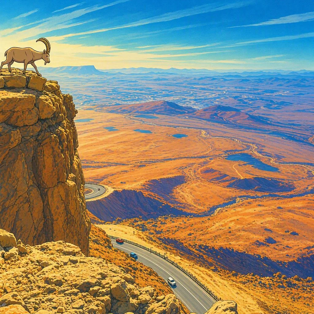
Makhtesh Ramon
The largest erosion crater
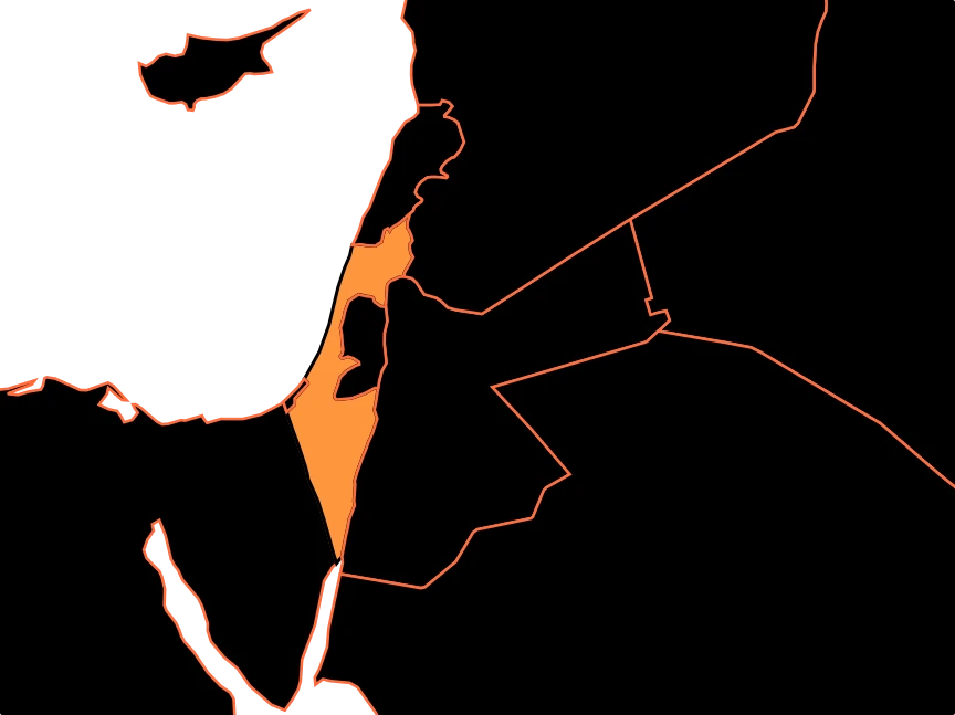
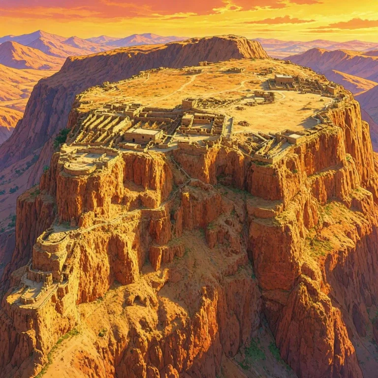
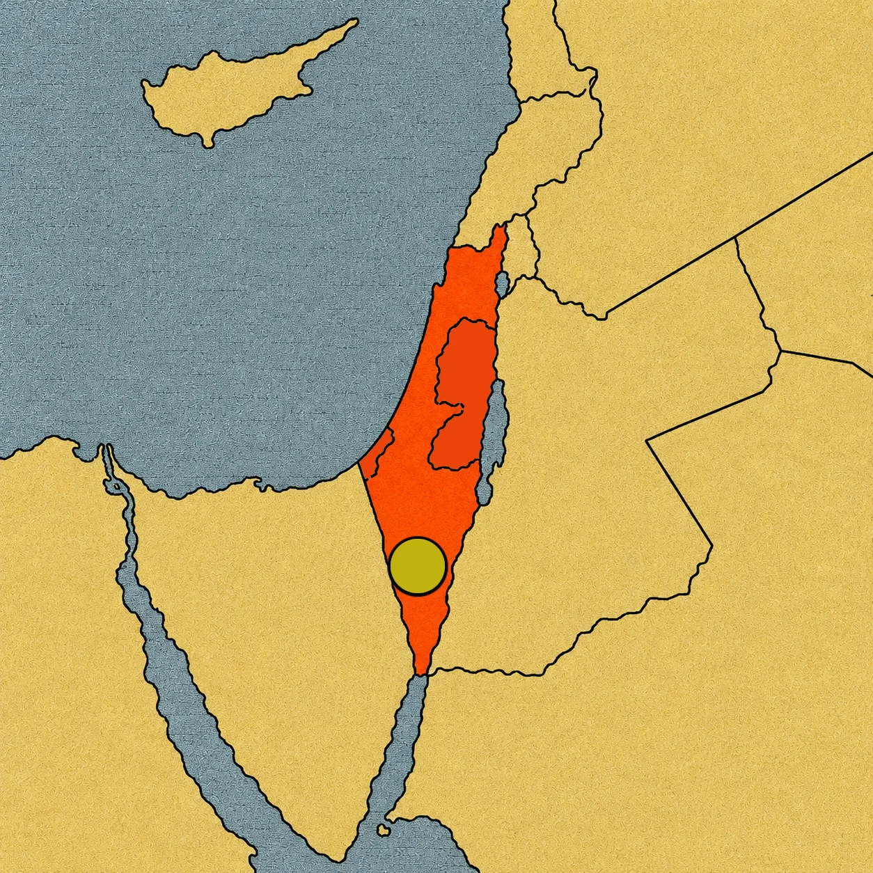
From afar, it seems impossible. Right in the middle of the Negev Desert, in southern Israel, a gigantic depression opens up, surrounded by rocky walls. It is tens of kilometers long and, seen from above, it looks just like a crater made by a space impact.
But here is the surprise: no meteorite carved Makhtesh Ramon, and it wasn’t born from a volcano either. Its shape is the result of a much slower story. Water, erosion, movements of the Earth’s crust, and millions of years of wear and tear carved out a huge window into the deep layers of the Earth.[1] Makhtesh Ramon is the largest makhtesh on the planet.
What is a makhtesh, really?
The Hebrew word makhtesh roughly means “mortar”; the kitchen or laboratory mortar is the concave bowl or vessel used together with a pestle to crush and grind spices or grains.
But a makhtesh is not a crater in the usual sense. Volcanic craters are related to volcanoes, and impact craters form when a meteorite strikes a surface. The makhteshim of the Negev are different: they are large depressions carved mainly by erosion.[2] The main examples of this relief are found in the Negev and the Sinai. Makhtesh Ramon is the largest of them all.
First, there was a mountain
To understand today’s landscape, we have to imagine something very different. Tens of millions of years ago, the rocks in this region were deformed by movements of the Earth’s crust. The layers folded to form a structure called an anticline: a kind of large arch of rock. In Ramon’s case, that arch is asymmetric and forms part of a long mountain range.[3]
Inside that huge fold were rocks of different hardness. Some layers of limestone and dolomite were resistant; further down, softer materials appeared, such as sandstones, clays, marls, and gypsums. Imagine a cake made of hard and soft layers: the tough ones can form walls while the weak ones wear away sooner. That difference would be decisive.
Water started to carve
The next main character was water. Although today the Negev is a desert, during different stages of its geological history the climate and landscape were different. The rain that fell on the rock structure found cracks and areas that were easier to erode. Water streams gradually removed materials and carried them out of the depression.[4]
Rock fractures also facilitated the process. Over time, the softer layers on the inside became exposed, and erosion kept working on them. It wasn’t a gigantic explosion or an instant moment when the hole appeared. The landscape changed slowly over millions of years.
A window to the depths
Today, Makhtesh Ramon is approximately 40 kilometers long and up to about 9 kilometers wide.[5] Its central part lies hundreds of meters below its edges.
This leaves rocks exposed that would normally be hidden under more recent layers. It is as if someone had removed a huge section of the Earth’s crust and let us look inside. Geologists can follow the rock layers, study their minerals, look for fossils, and reconstruct environments that existed a very long time ago. The landscape itself acts as an open book of geology.[6]
A rainbow of stone
If Makhtesh Ramon were just a huge gray depression, it would already be impressive. But its rocks have surprising colors. There are reddish sandstones, yellow layers, ochre, gray, white, and violet tones. In some sectors, dark rocks of volcanic origin appear, related to ancient episodes of igneous activity that occurred in the region millions of years ago.[7]
This might seem contradictory: if the makhtesh wasn’t created by a volcano, why are there volcanic rocks? Because how the erosion crater formed is one thing, and the region having past volcanic activity is another. Some of those rocks were preserved and today appear exposed thanks to erosion.
The result is a landscape full of colors and shapes that allow us to distinguish different stages of Earth’s history.
The famous crater shape
From the ground, the dimensions are hard to comprehend. You can look at a rocky wall and see it as a mountain. You can follow a trail and think the landscape ends behind the next hill.
From above, everything changes. The elongated shape of Makhtesh Ramon appears as a gigantic basin surrounded by ridges. The walls form a continuous edge for long stretches, and the floor spreads out inside like a huge desert plain.
A story written in layers
Inside the makhtesh, you can find places that look like science fiction settings. There are colored sands, canyons, isolated mountains, dikes, and ancient volcanic rocks.
There are also fossils that remind us this region wasn’t always a desert. One of the best-known geological sites is the so-called “Ammonite Wall,” where fossils of these ancient marine animals appear.[8] Ammonites lived in the seas for hundreds of millions of years. Finding them in the Negev seems strange until you remember that continents and seas change, and that rocks can preserve the memory of those ancient landscapes.
Each layer tells a different part of the story.
World champion of erosion
Makhtesh Ramon holds an extraordinary title: it is the largest erosion crater in the world.[1]
But its true record lies in the way it got that look. It didn’t need a gigantic meteorite. It didn’t need a volcanic explosion. A particular geological structure, layers of rock with different resistance, water, wind, and a whole lot of time were all it took.
For millions of years, erosion removed materials and deepened the landscape until it created a depression about 40 kilometers long. When we look at it from above, our brain says “crater.” Geology tells a different story.
Makhtesh Ramon is actually a mountain that time emptied from the inside out. And perhaps that is its greatest wonder: it proves that the Earth can also build its most gigantic landscapes without needing to rush.
Sources:
1. Makhtesh Ramon as the largest makhtesh and its general dimensions — https://en.parks.org.il/reserve-park/makhtesh-ramon-nature-reserve-and-visitors-center/
2. Difference between makhteshim and volcanic or impact craters — https://meyda.education.gov.il/files/Unesco/new-24/Tentative_list_7.pdf
3. Anticline structure of Makhtesh Ramon and its geological layers — https://static.parks.org.il/wp-content/uploads/2017/08/brochureEn-15.pdf
4. Erosion processes and development of the makhtesh — https://www.gov.il/BlobFolder/reports/reports-1994/he/report_1994_Itamar-A-Geochemistry-Stream-Sediments-Makhtesh-Ramon-Israel-GSI-01-1994.pdf
5. Length and width of Makhtesh Ramon — https://static.parks.org.il/wp-content/uploads/2017/08/brochureEn-15.pdf
6. Makhtesh Ramon as a window to ancient geological formations, fossils, and rocks — https://en.parks.org.il/reserve-park/makhtesh-ramon-nature-reserve-and-visitors-center/
7. Volcanic rocks and geological formations of Makhtesh Ramon — https://egozi.gsi.gov.il/WebApps/AdditionalMaterial/StoryMaps/MakhteshRamonEast/1998_MakhteshRamon_Tour_09.pdf
8. Ammonite fossils and ancient marine environments of the Negev — https://meyda.education.gov.il/files/Unesco/new-24/Tentative_list_7.pdf
9. Natural protection and geological and ecological value of Makhtesh Ramon — https://www.parks.org.il/new/x6/
10. International recognition of Makhtesh Ramon's night sky quality — https://www.parks.org.il/new/%D7%9E%D7%9B%D7%AA%D7%A9-%D7%A8%D7%9E%D7%95%D7%9F-%D7%94%D7%95%D7%91%D7%A8-%D7%9B%D7%A9%D7%9E%D7%95%D7%A8%D7%AA-%D7%90%D7%95%D7%A8-%D7%9B%D7%95%D7%91%D7%99%D7%9D/