
Maresha and Bet Guvrin
The underground city
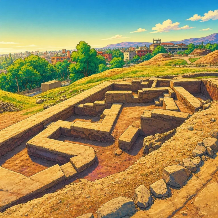
At first glance, the landscape looks completely normal. Gentle hills, Mediterranean vegetation, paths, and some remains of ancient buildings. But you only need to find an entrance in the ground to discover something incredible: beneath those hills lies another city.
It is not a modern city hidden underground, with illuminated streets and glass buildings. It is a huge network of chambers, tunnels, quarries, cisterns, warehouses, workshops, tombs, and places of worship excavated over more than 2,000 years.[1] UNESCO estimates that the site preserves about 3,500 underground chambers distributed across different complexes.[1]
Welcome to Maresha–Bet Guvrin, the true Impossible City of the Low Judea.
A city that has another one beneath it
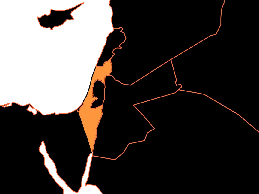
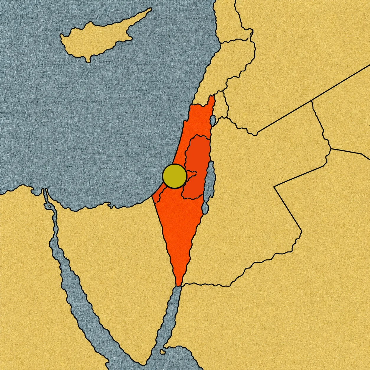
Maresha and Bet Guvrin were two ancient cities located in the Low Judea, in a region of hills between the trade routes connecting Egypt and Mesopotamia.
Maresha is the oldest. Its history dates back at least to the 8th century BCE. Over time, the area was occupied and transformed by different peoples and cultures. Bet Guvrin developed later and eventually became an important city during the Roman and Byzantine periods.[1]
But the real surprise wasn’t above the hills. It was below. The underground of this region is made of a thick and relatively homogeneous layer of soft, chalk-like limestone. It was easy enough to carve with ancient tools, but also sturdy enough for the chambers to survive for centuries.[2] That combination turned the rock into an extraordinary building material.
First they excavated to get stone
The story began quite simply: some people needed stone to build. They excavated into the soft rock, extracted blocks, and left large empty spaces. But the inhabitants quickly discovered that those hollows could have a second life. An abandoned quarry could become a cistern. A chamber could serve as a warehouse. A set of rooms could transform into a workshop. And a deep space, protected from light and temperature changes, could have many other functions.
Thus, the excavations grew until they formed authentic underground complexes. Some had just a few chambers; others could bring together dozens of connected spaces.[3] The rock that had served to build the city above ended up creating another city below.
A house with a basement… and much more
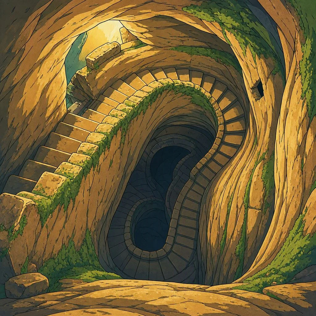
Imagine living in a home in Maresha more than 2,000 years ago. You step out of your house and see a street. But beneath your feet, you have a staircase leading to another world. You go down. The light gradually disappears. The air becomes cooler, and rock walls appear. One room leads to another. There are jars, tools, storage pits, and small passageways.
It wouldn’t be exactly like entering a modern underground city. Most inhabitants lived above ground and used the lower chambers for specific activities.[3] But the quantity and variety of spaces make the whole complex describable as a “city under a city”.[1]
And that expression is not just a nice metaphor. UNESCO uses this exact idea to explain the relationship between the ancient cities and their underground networks.[1]
Water hidden beneath the hills
One of the biggest problems for any ancient city was getting water. In this region, people learned to make the most of the underground. Some old quarries were transformed into cisterns. Reservoirs and channels were excavated to collect and store rainwater. In some complexes, there were drainage systems and sedimentation tanks that helped preserve it.[3] This turned the caves into authentic hydraulic infrastructures.
Underground oil factories
Agriculture also found a place in the depths. Maresha was an important center for olive oil production during the Hellenistic period. Archaeologists have identified numerous pressing installations inside the caves.[3]
Imagine the process: olives arrived from the fields, were crushed, and then pressed to extract the oil. Some installations still preserve the large stones and elements used to produce it.
The oil could be used for cooking, lighting, and trade. In fact, Maresha’s production was connected to trade routes that reached as far as Egypt.[3]
Thus, a cave could function like a small factory.
And there were also dovecotes
There is another activity that is quite more unexpected: pigeon breeding. The inhabitants excavated hundreds of small niches in the walls of some chambers. Each nook could serve as a space for a pigeon.[3] These places are called columbaria or dovecotes.
Why build them underground? The chambers offered protection against predators and made it possible to keep large numbers of birds in a controlled space. Pigeons could provide meat, eggs, and other useful products, besides contributing with their droppings to agricultural activities.[3]
Painted tombs
Not everything underground was used for work. There were also places intended for the dead. Several necropolises with burial chambers were excavated around Maresha. Some belong mainly to the 4th and 3rd centuries BCE, showing the influence of Hellenistic cultures, especially Alexandria.[3]
Some tombs were decorated with paintings and inscriptions. One of the best known is the so-called Tomb of the Sidonians, related to a community of foreign origin that lived in Maresha. Its walls preserve paintings of animals and other motifs that reveal how culturally diverse the city was.[3]
A city of many cultures
Maresha–Bet Guvrin is also special because its caves tell the story of different peoples. The region was connected to Jewish, Idumean, Hellenistic, Roman, Byzantine, and other populations who left their own traces.[1]
Later, Bet Guvrin became an important Roman city known as Eleutheropolis. There were public buildings, baths, water systems, and other large constructions.[3] Meanwhile, the caves continued to be used and adapted.
Tunnels for hiding
In times of danger, the caves took on an even more important function. Some complexes were connected by narrow passages and tunnels. During the Bar Kokhba revolt against Rome in the 2nd century CE, some of these underground systems were used as hiding places.[2] From above, an army could march across a hill without suspecting that people were moving through tunnels underneath.
In-depth archaeology
The preservation of the site allows us to study how people made use of the underground for a period of about 2,000 years, from the Iron Age to the Crusader period.[1] UNESCO has recognized the complex as a World Heritage site since 2014. The property encompasses about 259 hectares and preserves an extraordinary concentration of underground structures.[1]
But perhaps the most interesting thing is that archaeologists do not find a single city frozen in time. They find layers of stories. A quarry can reveal one stage. An oil press, another. A tomb, a different one. A cistern explains how water was managed. A tunnel shows how people reacted to danger. Together, all those pieces make it possible to reconstruct the lives of people who lived many centuries ago.
Impossible city
Maresha–Bet Guvrin fits the Impossible City title because it forces us to imagine a city that functions on two levels. Above are the hills, the streets, and the homes. Below is a second reality: thousands of spaces carved into the rock, connected by stairs, passages, and tunnels. There are oil factories, water reservoirs, dovecotes, stables, warehouses, baths, places of worship, tombs, and hiding places.[1]
It was not built all at once. It grew over generations, adapting to the needs of its inhabitants. And perhaps that is the most powerful image to close the journey. A seemingly empty hill. A small entrance. A staircase disappearing into the darkness. And beneath it all, an entire city waiting to be discovered.
Sources:
1. UNESCO, underground chambers, historical evolution, and universal value of Maresha–Bet Guvrin — https://whc.unesco.org/en/list/1370
2. Israel Nature and Parks Authority, quarries, caves, water systems, and refuges — https://en.parks.org.il/article/world-heritage-sites/
3. UNESCO/ICOMOS, uses of the caves, oil production, dovecotes, cisterns, necropolises, and evolution of Maresha and Bet Guvrin — https://whc.unesco.org/document/152502
4. UNESCO decision for the inscription of Maresha–Bet Guvrin as a World Heritage site in 2014 — https://whc.unesco.org/en/decisions/6120