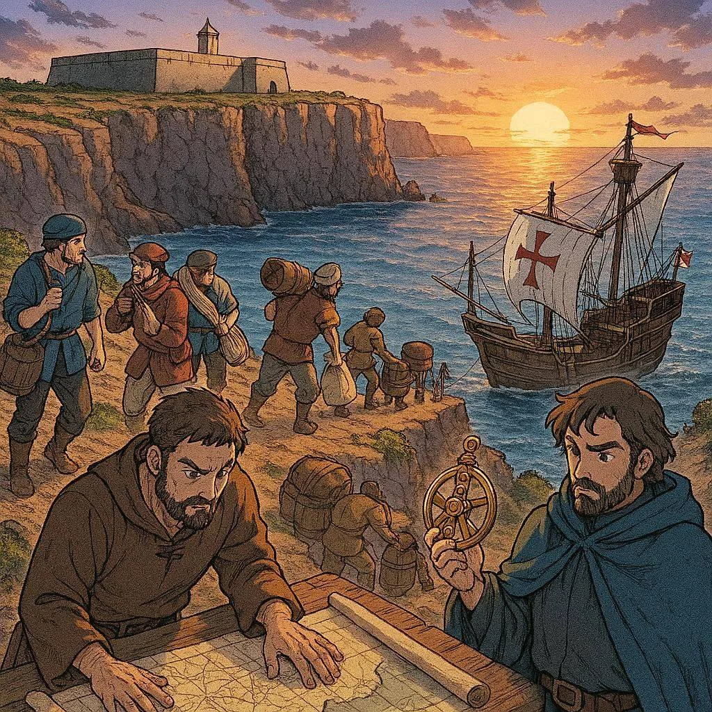
Sagres School
The School of Explorers: The Place Where the Age of Discovery Began
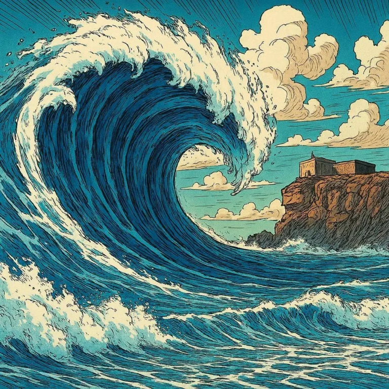
Today we know the shape of all continents and can cross oceans following very precise maps. But more than 600 years ago, sailing out into the open sea was an adventure full of dangers. Many sailors feared straying far from the coast because they didn’t know how to navigate and thought the ocean hid monsters, endless storms, or places from which no one returned.
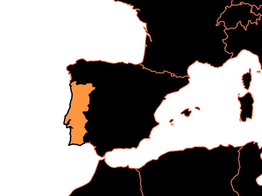
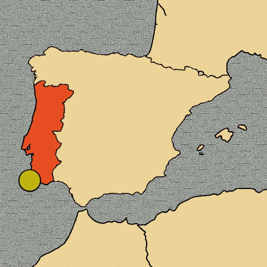
However, at the southern tip of Portugal, on some impressive cliffs overlooking the Atlantic Ocean, history began to change. There, in Sagres, an idea was born that would ultimately transform the maps of the world.
A small place with a great mission
At the beginning of the 15th century, Prince Henry the Navigator had a great dream: to discover new sea routes. Europe wanted to reach Asia to trade for spices, silks, and other very valuable products. The problem was that no one knew how to sail that far without getting lost.
Instead of launching ships into the ocean unprepared, Henry gathered in Sagres some of the most knowledgeable people of his time: pilots, cartographers, astronomers, and shipbuilders. They all worked together to answer the same question: How can we sail farther than anyone else?
Learning to conquer the ocean
In Sagres there were no classrooms like those in a modern school, but there was a place where knowledge was shared and new ideas were tested.
Sailors learned to navigate by observing the stars. Cartographers improved the maps every time a ship returned from an expedition. Shipbuilders designed faster and more resilient vessels.
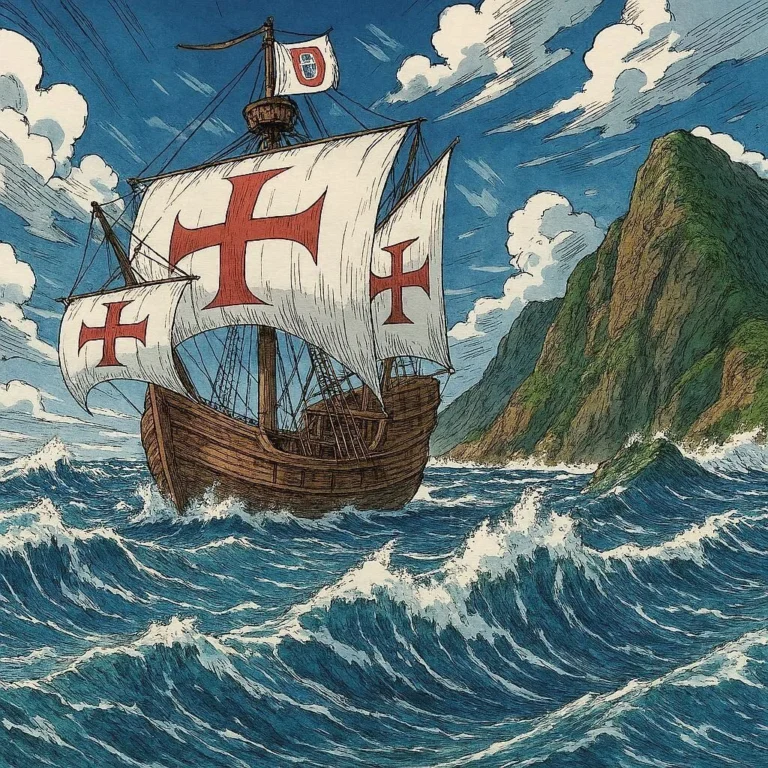
One of their greatest achievements was perfecting the caravel, a lighter and more maneuverable ship that could sail even against the wind. They also improved the use of the compass, which pointed north even when the sky was overcast, and the astrolabe, an instrument that allowed sailors to calculate the ship’s position by observing the Sun or the stars.
Each voyage contributed new data, and each expedition made the maps a little more accurate than the previous one.
Beyond the Sea of Darkness
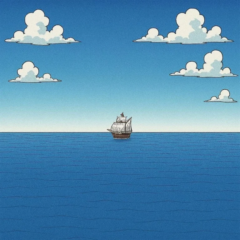
In those days, many Europeans called the Atlantic Ocean the Sea of Darkness. It was believed that, far from the coast, a world full of unknown dangers began.
But the Portuguese navigators advanced little by little. First they explored the coasts of Africa. Then they discovered new islands in the Atlantic. Later they managed to sail around the African continent and, finally, found a sea route to India.
Those voyages proved that the ocean was not an impossible place to cross. With good ships, better maps, and the right knowledge, it was possible to go much farther than anyone had ever imagined.
The place where a new era began
From Sagres came many of the ideas that made the great voyages of exploration possible. Thanks to them, navigators like Bartolomeu Dias reached the southern tip of Africa, and Vasco da Gama opened the sea route to India.
A few years later, other explorers would cross the Atlantic, circumnavigate the globe, and connect continents that until then had barely known of each other.
A legacy that changed the maps
Sagres was neither the largest port in Europe nor the richest city in Portugal. Its importance was something else: there, people gathered who learned to understand the ocean better than anyone else.
Ships improved, navigation instruments became more precise, and maps were no longer full of blank spaces. That is why many historians believe that, before discovering new continents, people first had to learn how to sail. And that learning began in a small corner of the Algarve, where a group of explorers dared to look beyond the horizon.
Thanks to them, the world ceased to be a mystery, and maps began to look more and more like the ones we know today.